The Story behind Mississauga’s Glengarry
/
A new subdivision plan, Plan 366, was registered in 1949, by Martha and Morley McMullen. This plan opened several building lots along a road that ran through the McMullen’s property. The road was simply referred to as the “Road Allowance Between Lots 8 and 9” in Range 2, in the Racey Tract, Credit Reserve. It doesn’t quite roll off the tongue.
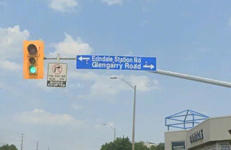
There was (and is) a road that runs north of Dundas Street and lines up directly with modern Glengarry Road. Historically the northward road was Third Line West (Third Road west of Hurontario Street). But by the early 1880s residents began calling it Station Road, as it led to the newly opened train station on the Credit Valley Railway line. In the 1950s Station Road became Erindale Station Road – a name that it still carries today. But the southbound road, modern Glengarry Road, follows a different story.
In our earliest survey plans, the course of Glengarry Road does not appear. However, by 1877, the road allowance between Lots 8 and 9, running south of Dundas Street, does show up. Its purpose was to connect the properties in Range 2 of the Racey Tract to Dundas Street, as they were essentially land-locked behind the properties within Range 1. Some early properties owners in this part of Range 2 in the 1850s included John Collins, James Cotton, John Ezard, Robert Mullett, and Ira Van Valkenburg. The first formal reference we have to the road is found in 1909, when property owned by David Mills grants land to the hydro commission along the right-of-way, followed by another reference to the “Right-of-way on Lot 8” registered to Eli Kingsley in 1920 (he had purchased the David Mills property).
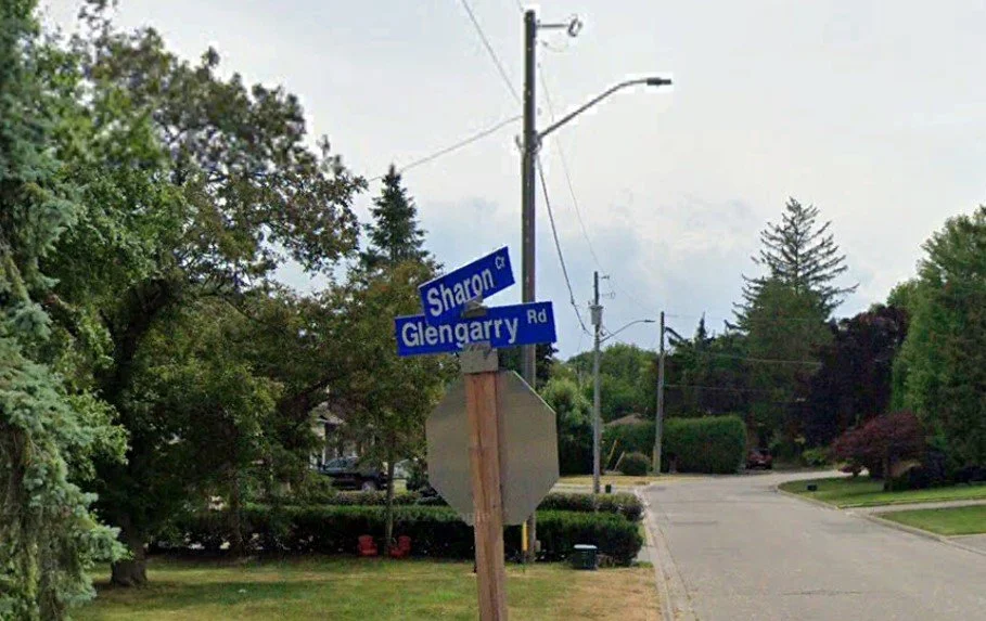
In 1948, the southern part of Lot 8, Range 2, stretching between what is now Glengarry Road and Old Carriage Road (then called Carriage Road) was acquired by Martha and Morley McMullen. In 1949 the McMullen’s registered Plan 366 to subdivide their property. Six lots were purchased between 1949 and 1953, and houses were built. The first purchasers of the lots included Laura and John Galbraith, Adeline and Jack Goddard, Ethel and Watson McLean, Gertrude and John Markham, Mary and John Nokes, and Grace and Bert Symes. The story has been recorded in a couple of places that the residents thought their road should have a name, and they apparently agreed that each household would submit a name for the road – and they did. The six submitted names were put into a hat and a Mrs. Williamson, who was a non-resident who was visiting, was tasked with pulling one of the submitted names out of the hat – and she randomly pulled “Glengarry”. The road allowance was then informally called “Glengarry Drive” in 1954. The name was formally adopted by the Town of Mississauga as “Glengarry Road” in 1972.
But where does the “Glengarry” come from? The name is of Scottish origins and comes from the Gaelic phrase “Gleann Garadh,” meaning “Glen of the Gardens.” This name reflects a picturesque landscape characterized by lush valleys. Glengarry is also the name of a county in eastern Ontario that was largely settled by Scottish-born immigrants, and the Glengarry Highlanders regiment in Canada has a long history with roots dating back to the War of 1812. As for why the name Glengarry was submitted, we can only guess. But of those who submitted potential street names, only one had Scottish roots that we can determine – Laura and John Galbraith.
John Stupart Galbraith (1891-1968) and his second wife, Frances Howes (1895-1983), purchased land here in 1949. There is a good chance that John’s children from his first wife, Laura Ryerson (1892-1943), namely Mary, Laura and John Douglas, lived elsewhere as they we in their 20s by the time their father bought land in historic Mississauga. But I digress. John Stupart Galbraith’s father, John Anderson Galbraith (c.1840-1914), was born in Inverness, Scotland, which is in the heart of the Glengarry Highlands. But the Galbraith connection to the naming of Glengarry Road is only a guess.
Another nearby road also carries a unique name-origin story. A neighbouring landowner immediately to the north of Martha and Morley McMullen, followed their lead. Edna (1909-2014) and Reginald Key (1908-1988) registered subdivision plan 393 on March 7, 1950. They laid out a street on the west side of what is now Glengarry Road, and they called their new street “Sharon Crescent”. It was named for their daughter, Sharon Key.
Special thank you for Nick Moreau at the Region of Peel Archives for providing research materials that helped flush out this article.